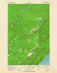
1956 Map of Finland
USGS Topo · Published 1964About this map
Finland sits at the heart of this North Shore landscape, where the cold waters of the Baptism River and its East Branch carve through the deep woods of the Finland State Forest. This mid-century survey captures a unique Cold War moment with the presence of the Finland Air Force Station and the Finland Lookout Tower overlooking the interior. Near the rocky coast of Lake Superior, the small settlement of Little Marais PO and the geographic point at Kennedy Landing mark the interface between the wilderness and the Great Lake. The map reveals a land defined by water and survival, from the remote Cramer Homestead Lake in the north to the Community Hall that served as a social anchor for the local timber and military community. Scattered lakes like Sonju Lake, Egge Lake, and Leskinen Lake dot the dense forest, connected by a network of creeks and early roads.
Find a feature on this map
28 named features on this map. Tap any name to fly to it.
Don’t see what you’re looking for? This feature index may not catch every label — zoom into the map to look around manually.
Map Details
Editions of this 1956 Finland Map
3 editions found
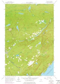
Other maps of this area

1954 · Silver Bay
USGS Topo · 1:62,500

1954 · Two Harbors
USGS Topo · 1:250,000

1955 · Isabella
USGS Topo · 1:62,500

1955 · Cramer
USGS Topo · 1:62,500

1956 · Little Marais
USGS Topo · 1:24,000

1956 · Finland
USGS Topo · 1:24,000

1956 · Finland
USGS Topo · 1:62,500

1956 · Illgen City
USGS Topo · 1:24,000

1957 · Two Harbors
USGS Topo · 1:250,000

1958 · Two Harbors
USGS Topo · 1:250,000