
1956 Map of Illgen City
USGS Topo · Published 1958About this map
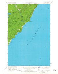
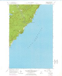
Illgen City serves as the focal point for this mid-century coastal survey along the North Shore of Lake Superior. Situated at the junction of Highway 61 and the Baptism River, this small settlement is surrounded by protected landscapes, including the Finland State Forest and the Baptism River State Park. The shoreline is characterized by dramatic landforms such as Shovel Point and the towering heights of Palisade Head, where a Radio Tower is noted as a prominent landmark. Further inland, the terrain is defined by water bodies like Nipisiquit Lake and Mic Mac Lake, with the descending river creating Illgen Falls. This map, field-checked in the mid-1950s, documents the area's development before the intensification of modern tourism, capturing a moment when the regional identity was deeply tied to the public forests and the rugged basalt formations of Crystal Bay.
Find a feature on this map
22 named features on this map. Tap any name to fly to it.
Don’t see what you’re looking for? This feature index may not catch every label — zoom into the map to look around manually.
Map Details
Editions of this 1956 Illgen City Map
3 editions found
Other maps of this area

1954 · Silver Bay
USGS Topo · 1:62,500

1954 · Two Harbors
USGS Topo · 1:250,000

1956 · Little Marais
USGS Topo · 1:24,000

1956 · Finland
USGS Topo · 1:24,000

1956 · Finland
USGS Topo · 1:62,500

1956 · Split Rock Point
USGS Topo · 1:62,500

1956 · Split Rock Point NE
USGS Topo · 1:24,000

1957 · Two Harbors
USGS Topo · 1:250,000

1958 · Two Harbors
USGS Topo · 1:250,000

1964 · Two Harbors
USGS Topo · 1:250,000