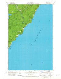
1956 Map of Illgen City
USGS Topo · Published 1968About this map
Lake Superior’s North Shore landscape dominates this mid-century survey, centered on the small settlement of Illgen City. The geography is defined by sharp elevation changes where the Finland State Forest meets the lake, carved by waterways like Crystal Creek and Kennedy Creek. Public land use is prominent, with the boundaries of Baptism River State Park protecting the dramatic river gorge and the notable Illgen Falls.
Find a feature on this map
23 named features on this map. Tap any name to fly to it.
Don’t see what you’re looking for? This feature index may not catch every label — zoom into the map to look around manually.
Map Details
Editions of this 1956 Illgen City Map
3 editions found
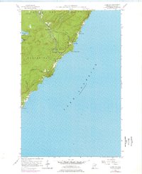
Other maps of this area

1954 · Silver Bay
USGS Topo · 1:62,500

1954 · Two Harbors
USGS Topo · 1:250,000

1956 · Little Marais
USGS Topo · 1:24,000

1956 · Finland
USGS Topo · 1:24,000

1956 · Finland
USGS Topo · 1:62,500

1956 · Illgen City
USGS Topo · 1:24,000

1956 · Split Rock Point
USGS Topo · 1:62,500

1956 · Split Rock Point NE
USGS Topo · 1:24,000

1957 · Two Harbors
USGS Topo · 1:250,000

1958 · Two Harbors
USGS Topo · 1:250,000