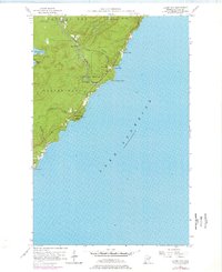
1956 Map of Illgen City
USGS Topo · Published 1978About this map
Illgen City and the surrounding North Shore wilderness appear here in a mid-century survey updated with photorevisions from the 1970s. The landscape is defined by the sharp transition from the uplands of the Crystal Bay State Forest down to the rocky coast of Lake Superior. The Baptism River carves a dramatic path through the terrain, featuring Illgen Falls before reaching the lake near Baptism River State Park. Dramatic coastal landmarks like Palisade Head, which features a Radio Tower, and Shovel Point dominate the shoreline, while smaller inlets like Crystal Bay and Belmore Bay provide breaks in the cliffs. Inland, small bodies of water such as Nipisiquit Lake and Micmac Lake sit among the timbered ridges, reflecting the traditional recreational and natural resource character of Lake County.
Find a feature on this map
21 named features on this map. Tap any name to fly to it.
Don’t see what you’re looking for? This feature index may not catch every label — zoom into the map to look around manually.
Map Details
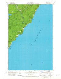
Editions of this 1956 Illgen City Map
3 editions found
Other maps of this area

1954 · Silver Bay
USGS Topo · 1:62,500

1954 · Two Harbors
USGS Topo · 1:250,000

1956 · Little Marais
USGS Topo · 1:24,000

1956 · Finland
USGS Topo · 1:24,000

1956 · Finland
USGS Topo · 1:62,500

1956 · Illgen City
USGS Topo · 1:24,000

1956 · Split Rock Point
USGS Topo · 1:62,500

1956 · Split Rock Point NE
USGS Topo · 1:24,000

1957 · Two Harbors
USGS Topo · 1:250,000

1958 · Two Harbors
USGS Topo · 1:250,000