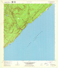
1956 Map of Little Marais
USGS Topo · Published 1979About this map
Lake Superior dominates the eastern half of this 1950s coastal study, where the North Shore's dramatic geology is documented through sharp relief and numerous descending waterways. The settlement of Little Marais serves as the primary coastal anchor, situated near the mouth of the Little Marais River. The map highlights a landscape in transition, with a major coastal road marked as Under Construction as it cuts through the Finland State Forest.
Find a feature on this map
14 named features on this map. Tap any name to fly to it.
Don’t see what you’re looking for? This feature index may not catch every label — zoom into the map to look around manually.
Map Details
Editions of this 1956 Little Marais Map
3 editions found
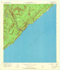
Other maps of this area

1954 · Two Harbors
USGS Topo · 1:250,000

1955 · Schroeder
USGS Topo · 1:24,000

1955 · Tofte
USGS Topo · 1:62,500

1955 · Cramer
USGS Topo · 1:62,500

1956 · Little Marais
USGS Topo · 1:24,000

1956 · Finland
USGS Topo · 1:24,000

1956 · Finland
USGS Topo · 1:62,500

1956 · Illgen City
USGS Topo · 1:24,000

1957 · Two Harbors
USGS Topo · 1:250,000

1958 · Two Harbors
USGS Topo · 1:250,000