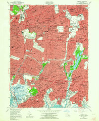
1954 Map of Lynbrook
USGS Topo · Published 1957About this map
The boundary between Queens and Nassau County anchors this mid-century survey, illustrating the dense suburban evolution of western Long Island. Large institutional footprints define the northern landscape, from the sprawling grounds of Creedmore State Hospital to the prominent Garden City Golf Club. In Garden City, the landmark Cathedral of the Incarnation stands near the civic hub of the Old Courthouse and City Hall.
Find a feature on this map
168 named features on this map. Tap any name to fly to it.
Don’t see what you’re looking for? This feature index may not catch every label — zoom into the map to look around manually.
Map Details
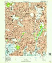
Editions of this 1954 Lynbrook Map
2 editions found
Other maps of this area

1889 · Brooklyn
USGS Topo · 1:62,500

1891 · Brooklyn
USGS Topo · 1:62,500

1891 · Harlem
USGS Topo · 1:62,500

1897 · Harlem
USGS Topo · 1:62,500

1897 · Brooklyn
USGS Topo · 1:62,500

1897 · Hempstead
USGS Topo · 1:62,500

1897 · Oyster Bay
USGS Topo · 1:62,500

1898 · Harlem
USGS Topo · 1:62,500

1898 · Hempstead
USGS Topo · 1:62,500

1898 · Brooklyn
USGS Topo · 1:62,500