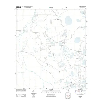
2012 Map of Lynne
USGS Topo · Published 2012About this map
The Ocklawaha River winds along the western edge of this central Florida landscape, providing a historical focal point for water-based transport at Caldwell Landing, Conner Landing, and Grahamsville Landing. The area is defined by a dense network of lakes and ponds, including Lake Charles and Waldena Lake, which shaped the early settlement patterns of rural communities like Bruceville and Lynne.
Find a feature on this map
76 named features on this map. Tap any name to fly to it.
Don’t see what you’re looking for? This feature index may not catch every label — zoom into the map to look around manually.
Map Details
Editions of this 2012 Lynne Map
This is the sole edition of this map. No revisions or reprints were ever made.
Other maps of this area

1893 · Citra
USGS Topo · 1:62,500

1895 · Citra
USGS Topo · 1:62,500

1895 · Ocala
USGS Topo · 1:62,500

1954 · Gainesville
USGS Topo · 1:250,000

1954 · Daytona Beach
USGS Topo · 1:250,000

1958 · Daytona Beach
USGS Topo · 1:250,000

1958 · Gainesville
USGS Topo · 1:250,000

1959 · Gainesville
USGS Topo · 1:250,000

1964 · Daytona Beach
USGS Topo · 1:250,000
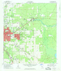
1967 · Ocala East
USGS Topo · 1:24,000