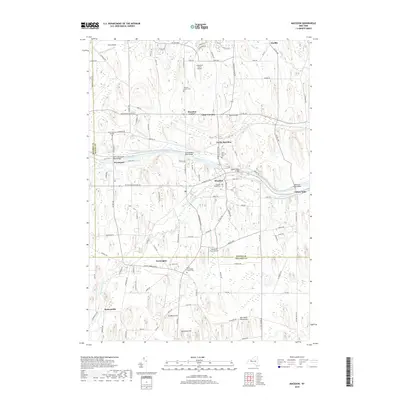
2019 Map of Macedon
USGS Topo · Published 2019About this map
The Erie Canal cuts through this landscape, defining the corridor between the settlements of Wayneport and Macedon. The map reveals a high density of ancestral sites and burial grounds, such as the Union Burying Ground, Macedon Center Cem, and the North Farmington Friends Cem, which indicate long-standing community roots in the region. To the south, the village of Farmington is situated near several local aviation landmarks including the Lakestone Farm Airport and New-Salem Aerodrome. The terrain is characterized by distinctive elevations like Science Hill and Dynamite Hill, while Ganargua Creek and its tributary Trap Brook wind through the valleys. Smaller hamlets like Yellow Mills and Huddle appear at crossroads, showing the persistent rural settlement patterns that have existed since the canal's early era.
Find a feature on this map
113 named features on this map. Tap any name to fly to it.
Don’t see what you’re looking for? This feature index may not catch every label — zoom into the map to look around manually.
Map Details
Editions of this 2019 Macedon Map
This is the sole edition of this map. No revisions or reprints were ever made.
Other maps of this area

1899 · Palmyra
USGS Topo · 1:62,500

1900 · Macedon
USGS Topo · 1:62,500

1900 · Canandaigua
USGS Topo · 1:62,500

1902 · Phelps
USGS Topo · 1:62,500

1902 · Palmyra
USGS Topo · 1:62,500

1903 · Canandaigua
USGS Topo · 1:62,500

1932 · Webster
USGS Topo · 1:24,000

1932 · Fairport
USGS Topo · 1:24,000

1934 · Fairport
USGS Topo · 1:24,000

1934 · Webster
USGS Topo · 1:24,000