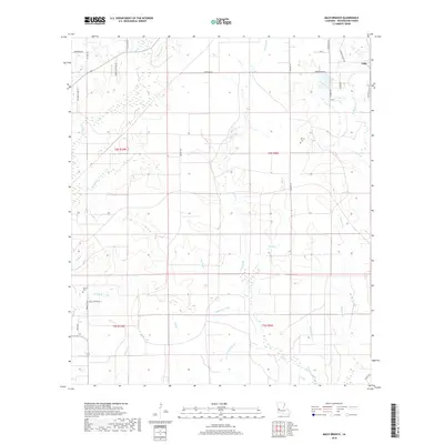
2018 Map of Mach Branch
USGS Topo · Published 2018About this map
Tulla serves as the primary named settlement in this pocket of Beauregard Parish, where a dense network of tributaries defines the landscape. The hydrography is notably specific, with colorful local designations such as Crazy Gully, Sheep Pen Gully, and Hop Gully feeding into larger systems like Barnes Cr and Mach Br. These watercourses create a dissected terrain that dictated the layout of rural roads and land boundaries in the T4S and T5S townships.
Find a feature on this map
43 named features on this map. Tap any name to fly to it.
Don’t see what you’re looking for? This feature index may not catch every label — zoom into the map to look around manually.
Map Details
Editions of this 2018 Mach Branch Map
This is the sole edition of this map. No revisions or reprints were ever made.
Other maps of this area

1935 · Longville
USGS Topo · 1:31,680

1947 · Singer
USGS Topo · 1:31,680

1947 · Pujo
USGS Topo · 1:31,680

1947 · Oretta
USGS Topo · 1:31,680

1947 · DeRidder
USGS Topo · 1:31,680

1947 · Kernan
USGS Topo · 1:31,680

1947 · Ikes
USGS Topo · 1:31,680

1947 · Longville
USGS Topo · 1:31,680

1947 · Beckwith School
USGS Topo · 1:31,680

1947 · Bannister
USGS Topo · 1:31,680