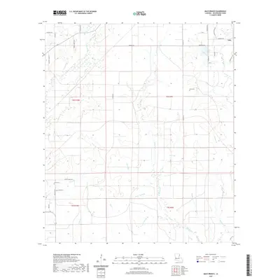
2020 Map of Mach Branch
USGS Topo · Published 2020About this map
Tulla anchors the northeastern corner of this landscape in Beauregard Parish, where a dense network of watercourses defines the low-lying terrain. The drainage pattern is intricate, characterized by numerous branches and gullies such as Mach Br, Hickory Br, and Sheep Pen Gully. These natural features, along with Mayhaw Br and Cowpen Cr, suggest a land historically shaped by seasonal water flow and wetlands. For genealogists, the map identifies small, localized burial sites including Bishop Cem and Havens Cem, often the only remaining markers of early rural families in the area. The road network, featuring names like S Mennonite Rd and Clifford Cooley Rd, reflects a pattern of large-lot land divisions and remote homesteads scattered between the various forks of Wild Cow Br and Spring Br.
Find a feature on this map
45 named features on this map. Tap any name to fly to it.
Don’t see what you’re looking for? This feature index may not catch every label — zoom into the map to look around manually.
Map Details
Editions of this 2020 Mach Branch Map
This is the sole edition of this map. No revisions or reprints were ever made.
Other maps of this area

1935 · Longville
USGS Topo · 1:31,680

1947 · Singer
USGS Topo · 1:31,680

1947 · Pujo
USGS Topo · 1:31,680

1947 · Oretta
USGS Topo · 1:31,680

1947 · DeRidder
USGS Topo · 1:31,680

1947 · Kernan
USGS Topo · 1:31,680

1947 · Ikes
USGS Topo · 1:31,680

1947 · Longville
USGS Topo · 1:31,680

1947 · Beckwith School
USGS Topo · 1:31,680

1947 · Bannister
USGS Topo · 1:31,680