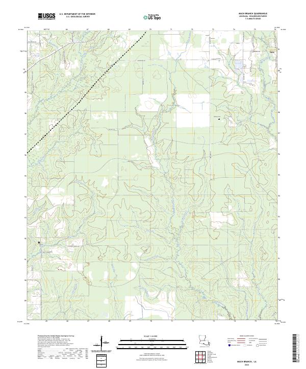
2024 Map of Mach Branch
USGS Topo · Published 2024About this map
Tulla and its network of rural lanes anchor this portion of Beauregard Parish, where the landscape is defined by the dense dendritic drainage patterns of the Calcasieu River basin. A high concentration of small, family-named waterways like Wild Cow Branch, Mayhew Branch, and Pin Oak Flat Branch suggests a terrain of subtle elevation changes and persistent wetlands. This 2024 survey captures a rural environment where land use is oriented around long-standing property lines and a grid of parish roads.
Find a feature on this map
47 named features on this map. Tap any name to fly to it.
Don’t see what you’re looking for? This feature index may not catch every label — zoom into the map to look around manually.
Map Details
Editions of this 2024 Mach Branch Map
This is the sole edition of this map. No revisions or reprints were ever made.
Other maps of this area

1935 · Longville
USGS Topo · 1:31,680

1947 · Singer
USGS Topo · 1:31,680

1947 · Pujo
USGS Topo · 1:31,680

1947 · Oretta
USGS Topo · 1:31,680

1947 · DeRidder
USGS Topo · 1:31,680

1947 · Kernan
USGS Topo · 1:31,680

1947 · Ikes
USGS Topo · 1:31,680

1947 · Longville
USGS Topo · 1:31,680

1947 · Beckwith School
USGS Topo · 1:31,680

1947 · Bannister
USGS Topo · 1:31,680