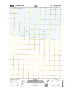
2014 Map of Machias Seal Island South
USGS Topo · Published 2014About this map
Machias Seal Island occupies the northern margin of this maritime survey, marking a small but significant landmass in the waters of the Gulf of Maine. This 2014 chart focuses heavily on the open ocean and submerged terrain south of the island, including the area near Southeast Shoal. Because the map covers a portion of the coastline subject to international maritime boundary discussions between the United States and Canada, the absence of extensive terrestrial features highlights the area's isolation and its primary character as a navigational and ecological zone. The map provides a detailed coordinate grid for the waters extending south toward the open Atlantic, a region defined by its seafloor topography and its distance from the mainland of Washington County.
Find a feature on this map
2 named features on this map. Tap any name to fly to it.
Don’t see what you’re looking for? This feature index may not catch every label — zoom into the map to look around manually.
Map Details
Editions of this 2014 Machias Seal Island South Map
This is the sole edition of this map. No revisions or reprints were ever made.
Other maps of this area

1917 · Cutler
USGS Topo · 1:62,500

1918 · Cutler
USGS Topo · 1:62,500

1961 · Eastport
USGS Topo · 1:250,000
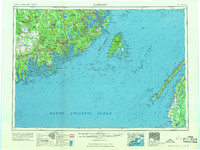
1969 · Eastport
USGS Topo · 1:250,000
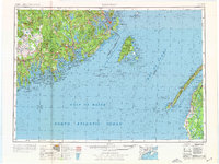
1976 · Eastport
USGS Topo · 1:250,000
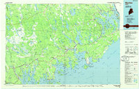
1985 · Machias
USGS Topo · 1:100,000
1986 · Eastport
USGS Topo · 1:100,000
1986 · Petit Manan Point
USGS Topo · 1:100,000
1993 · Machias Seal Island South
USGS Topo · 1:24,000
1993 · Machias Seal Island
USGS Topo · 1:24,000