2022 Map of Machodoc
USGS Topo · Published 2022About this map
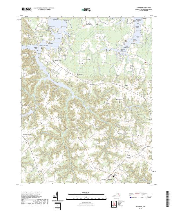
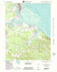
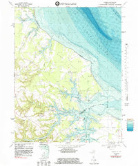
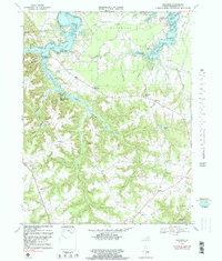
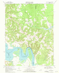
Burnt House Field - Lee Family Cem sits near the eastern edge of this coastal landscape, marking the ancestral presence of one of the region's most prominent families. The terrain is defined by the intricate waterways of the Northern Neck, where Nomini Creek and Lower Machodoc Creek carve deep into the countryside, creating numerous points and coves such as Jenkins Point and Booths Bend. Small agrarian and residential clusters like Hague, Mount Holly, and Machodoc are linked by a network of winding roads that follow the high ground between tidal marshes.
Find a feature on this map
146 named features on this map. Tap any name to fly to it.
Don’t see what you’re looking for? This feature index may not catch every label — zoom into the map to look around manually.
Map Details
Editions of this 2022 Machodoc Map
This is the sole edition of this map. No revisions or reprints were ever made.
Historical Maps of Bayside Through Time
21 maps found

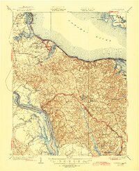
1930 Wakefield
Westmoreland County, VA
1932 Wakefield
Westmoreland County, VA

1942 Rollins Fork
Westmoreland County, VA
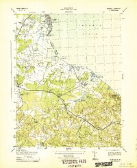
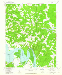
1943 Machodoc
Westmoreland County, VA
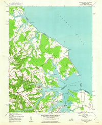
1943 Wakefield
Westmoreland County, VA
1943 Yeocomico River
Westmoreland County, VA
1949 Rollins Fork
Westmoreland County, VA
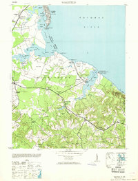
1953 Wakefield
Westmoreland County, VA
1968 Colonial Beach North
Westmoreland County, VA
1968 Colonial Beach South
Westmoreland County, VA
1968 Kinsale
Westmoreland County, VA
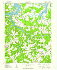
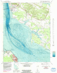
1968 Machodoc
Westmoreland County, VA
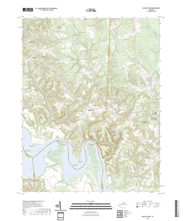
1968 Rollins Fork
Westmoreland County, VA

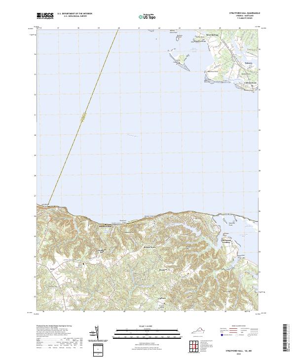
1968 Stratford Hall
Westmoreland County, VA
1981 Stratford Hall
Westmoreland County, VA
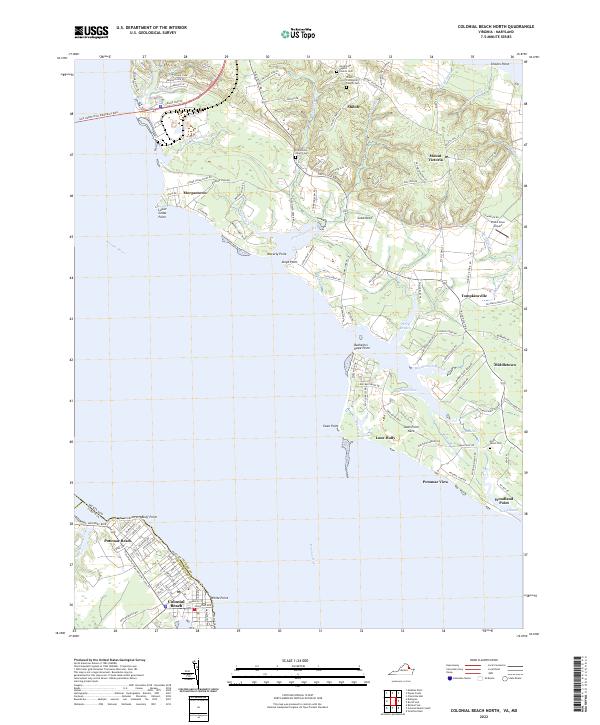
2022 Colonial Beach North
Westmoreland County, VA
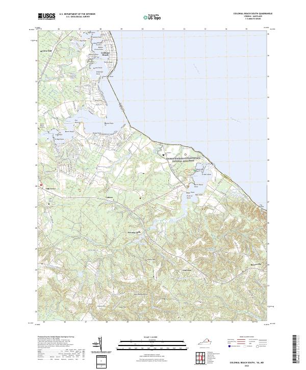
2022 Colonial Beach South
Westmoreland County, VA
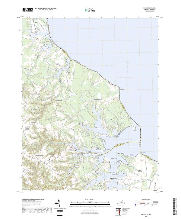
2022 Kinsale
Westmoreland County, VA
2022 Machodoc
Westmoreland County, VA
2022 Rollins Fork
Westmoreland County, VA
2022 Stratford Hall
Westmoreland County, VA