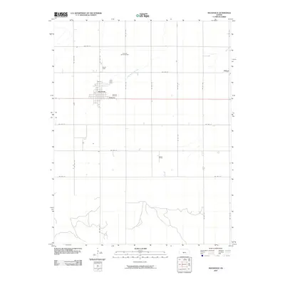
2009 Map of Macksville
USGS Topo · Published 2009About this map
The town of Macksville serves as the primary hub of this Stafford County landscape, characterized by a meticulous grid of rural roads and scattered energy development. To the east, the small settlement of Dillwyn sits near the headwaters of Bear Creek, while the town's local heritage is preserved at the Township Cemetery along Pauline Ave. This map reveals the economic foundations of the region through the Macksville Oil and Gas Field and the Kraeger Oil Field, illustrating how extractive industry integrates with the agricultural plains. Waterways like Little Wild Horse Creek and Spring Creek provide the primary natural relief in a terrain otherwise defined by long-distance section lines and local aviation at Smith Field.
Find a feature on this map
28 named features on this map. Tap any name to fly to it.
Don’t see what you’re looking for? This feature index may not catch every label — zoom into the map to look around manually.
Map Details
Editions of this 2009 Macksville Map
This is the sole edition of this map. No revisions or reprints were ever made.
Other maps of this area

1889 · Larned
USGS Topo · 1:125,000

1889 · Kinsley
USGS Topo · 1:125,000

1891 · Great Bend
USGS Topo · 1:125,000

1891 · Larned
USGS Topo · 1:125,000

1892 · Kinsley
USGS Topo · 1:125,000

1892 · Pratt
USGS Topo · 1:125,000

1893 · Great Bend
USGS Topo · 1:125,000

1894 · Kinsley
USGS Topo · 1:125,000

1894 · Pratt
USGS Topo · 1:125,000

1955 · Great Bend
USGS Topo · 1:250,000