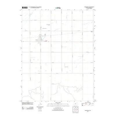
2012 Map of Macksville
USGS Topo · Published 2012About this map
Township Cem serves as a central landmark in this portion of Stafford County, located just east of the primary settlement. The landscape is defined by the agricultural and industrial activities of the Great Plains, with the Macksville Oil and Gas Field and Kraeger Oil Field signifying the region's reliance on subsurface resources. A network of section-line roads like SW 110th Ave and Avenue B crisscross the plains, connecting rural homesteads to the small community of Dillwyn and the local Smith Field Airport. Intermittent drainage systems including Little Wild Horse Cr and Spring Cr carve subtle paths through the terrain, highlighting the hydrological patterns of the Kansas prairie. This survey captures a moment of modern rural infrastructure where traditional farming exists alongside active petroleum extraction.
Find a feature on this map
35 named features on this map. Tap any name to fly to it.
Don’t see what you’re looking for? This feature index may not catch every label — zoom into the map to look around manually.
Map Details
Editions of this 2012 Macksville Map
This is the sole edition of this map. No revisions or reprints were ever made.
Other maps of this area

1889 · Larned
USGS Topo · 1:125,000

1889 · Kinsley
USGS Topo · 1:125,000

1891 · Great Bend
USGS Topo · 1:125,000

1891 · Larned
USGS Topo · 1:125,000

1892 · Kinsley
USGS Topo · 1:125,000

1892 · Pratt
USGS Topo · 1:125,000

1893 · Great Bend
USGS Topo · 1:125,000

1894 · Kinsley
USGS Topo · 1:125,000

1894 · Pratt
USGS Topo · 1:125,000

1955 · Great Bend
USGS Topo · 1:250,000