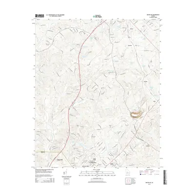
2014 Map of Macon NE
USGS Topo · Published 2014About this map
Gray and the surrounding rural pockets of Jones Co are depicted here as modern development meets the rolling countryside northeast of Macon. This portion of Georgia is defined by its numerous small water bodies, ranging from the well-established Walker Lake and Anderson Lake to smaller basins like Newberry Lake and Brasswells Lake. The settlement patterns show established community centers at Morton, Cumslo, and Postell, interwoven with newer residential developments like Joycliff Estates and Kings View.
Find a feature on this map
182 named features on this map. Tap any name to fly to it.
Don’t see what you’re looking for? This feature index may not catch every label — zoom into the map to look around manually.
Map Details
Editions of this 2014 Macon NE Map
This is the sole edition of this map. No revisions or reprints were ever made.
Other maps of this area

1953 · Athens
USGS Topo · 1:250,000

1956 · Gordon
USGS Topo · 1:62,500

1956 · Macon West
USGS Topo · 1:24,000

1956 · Macon East
USGS Topo · 1:24,000

1956 · Macon
USGS Topo · 1:62,500

1957 · Macon
USGS Topo · 1:250,000

1958 · Macon
USGS Topo · 1:250,000

1958 · Athens
USGS Topo · 1:250,000

1959 · Athens
USGS Topo · 1:250,000

1963 · Athens
USGS Topo · 1:250,000