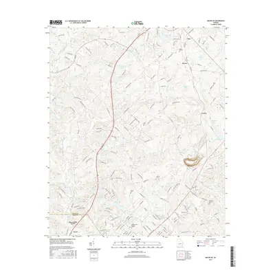
2017 Map of Macon NE
USGS Topo · Published 2017About this map
Gray and Morton anchor the northeastern portion of this study, where the developing road networks of Jones and Bibb Counties intersect. This modern topographical record shows a landscape defined by significant water resources, including Lake Tonowanda, Nelsons Lake, and Bateman Lake. The drainage pattern is dictated by Walnut Creek and Dry Bone Creek, which carve through the undulating Georgia terrain.
Find a feature on this map
165 named features on this map. Tap any name to fly to it.
Don’t see what you’re looking for? This feature index may not catch every label — zoom into the map to look around manually.
Map Details
Editions of this 2017 Macon NE Map
This is the sole edition of this map. No revisions or reprints were ever made.
Other maps of this area

1953 · Athens
USGS Topo · 1:250,000

1956 · Gordon
USGS Topo · 1:62,500

1956 · Macon West
USGS Topo · 1:24,000

1956 · Macon East
USGS Topo · 1:24,000

1956 · Macon
USGS Topo · 1:62,500

1957 · Macon
USGS Topo · 1:250,000

1958 · Macon
USGS Topo · 1:250,000

1958 · Athens
USGS Topo · 1:250,000

1959 · Athens
USGS Topo · 1:250,000

1963 · Athens
USGS Topo · 1:250,000