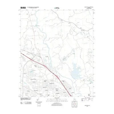
2011 Map of Macon NW
USGS Topo · Published 2011About this map
The Ocmulgee River snakes through this portion of Bibb County, defining a landscape where residential expansion meets old river crossings and industrial sites. Near the northern boundary, Popes Ferry and Toms Ford mark historic points of transit across the water, while Toms Shoals indicates the river's natural character before reaching the more developed southern reaches. The industrial presence at Macon Quarry and the settlement at Arkwright highlight the economic activity adjacent to the river corridor.
Find a feature on this map
88 named features on this map. Tap any name to fly to it.
Don’t see what you’re looking for? This feature index may not catch every label — zoom into the map to look around manually.
Map Details
Editions of this 2011 Macon NW Map
This is the sole edition of this map. No revisions or reprints were ever made.
Other maps of this area

1951 · Forsyth
USGS Topo · 1:62,500

1953 · Athens
USGS Topo · 1:250,000

1956 · Bolingbroke
USGS Topo · 1:62,500

1956 · Macon West
USGS Topo · 1:24,000

1956 · Macon East
USGS Topo · 1:24,000

1956 · Macon
USGS Topo · 1:62,500

1957 · Macon
USGS Topo · 1:250,000

1958 · Macon
USGS Topo · 1:250,000

1958 · Athens
USGS Topo · 1:250,000

1959 · Athens
USGS Topo · 1:250,000