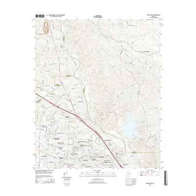
2014 Map of Macon NW
USGS Topo · Published 2014About this map
Wesleyan College and its surrounding residential developments anchor the southwestern portion of this 2014 survey, illustrating the suburban expansion of Macon into northern Bibb County. The landscape is a transition from established neighborhoods like Wesleyan Hills and Glenwood Forest to the more rural stretches across the Ocmulgee River in Jones and Monroe counties. Significant genealogical landmarks are scattered throughout the area, including Damascus Cem, Salem Cem, and Humphries Cem, which remain as markers of the area's earlier rural communities.
Find a feature on this map
122 named features on this map. Tap any name to fly to it.
Don’t see what you’re looking for? This feature index may not catch every label — zoom into the map to look around manually.
Map Details
Editions of this 2014 Macon NW Map
This is the sole edition of this map. No revisions or reprints were ever made.
Other maps of this area

1951 · Forsyth
USGS Topo · 1:62,500

1953 · Athens
USGS Topo · 1:250,000

1956 · Bolingbroke
USGS Topo · 1:62,500

1956 · Macon West
USGS Topo · 1:24,000

1956 · Macon East
USGS Topo · 1:24,000

1956 · Macon
USGS Topo · 1:62,500

1957 · Macon
USGS Topo · 1:250,000

1958 · Macon
USGS Topo · 1:250,000

1958 · Athens
USGS Topo · 1:250,000

1959 · Athens
USGS Topo · 1:250,000