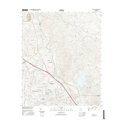
2017 Map of Macon NW
USGS Topo · Published 2017About this map
The Ocmulgee River serves as a primary geographic boundary in this region, separating Macon-Bibb County from its neighbors as it flows past Arkwright. The landscape is defined by the river’s winding course, featuring Toms Shoals and the confluence of several tributaries including Tobler Creek, Beaverdam Cr, and Town Cr. To the west, the suburban development of northwestern Macon is evident in residential clusters like Wesleyan Estates, Wesleyan Woods, and the Wesleyan campus. Numerous family and community burial grounds are scattered across the terrain, including Damascus Cem, Salem Cem, and Gorden Cem, offering significant points of interest for genealogical research. The map also records the expansion of the regional water network, visible in bodies such as Eagle Lake, Club Lake, and Lake Deer Run.
Find a feature on this map
183 named features on this map. Tap any name to fly to it.
Don’t see what you’re looking for? This feature index may not catch every label — zoom into the map to look around manually.
Map Details
Editions of this 2017 Macon NW Map
This is the sole edition of this map. No revisions or reprints were ever made.
Other maps of this area

1951 · Forsyth
USGS Topo · 1:62,500

1953 · Athens
USGS Topo · 1:250,000

1956 · Bolingbroke
USGS Topo · 1:62,500

1956 · Macon West
USGS Topo · 1:24,000

1956 · Macon East
USGS Topo · 1:24,000

1956 · Macon
USGS Topo · 1:62,500

1957 · Macon
USGS Topo · 1:250,000

1958 · Macon
USGS Topo · 1:250,000

1958 · Athens
USGS Topo · 1:250,000

1959 · Athens
USGS Topo · 1:250,000