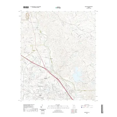
2020 Map of Macon NW
USGS Topo · Published 2020About this map
The Ocmulgee River winds through the heart of this landscape, forming the boundary between Macon-Bibb County and Jones County. Near Toms Shoals, the river's path is flanked by residential growth and several established community anchors. To the west, the campus and surrounding neighborhoods of Wesleyan, including Wesleyan Woods and Wesleyan Estates, show the suburban expansion of north Macon.
Find a feature on this map
186 named features on this map. Tap any name to fly to it.
Don’t see what you’re looking for? This feature index may not catch every label — zoom into the map to look around manually.
Map Details
Editions of this 2020 Macon NW Map
This is the sole edition of this map. No revisions or reprints were ever made.
Other maps of this area

1951 · Forsyth
USGS Topo · 1:62,500

1953 · Athens
USGS Topo · 1:250,000

1956 · Bolingbroke
USGS Topo · 1:62,500

1956 · Macon West
USGS Topo · 1:24,000

1956 · Macon East
USGS Topo · 1:24,000

1956 · Macon
USGS Topo · 1:62,500

1957 · Macon
USGS Topo · 1:250,000

1958 · Macon
USGS Topo · 1:250,000

1958 · Athens
USGS Topo · 1:250,000

1959 · Athens
USGS Topo · 1:250,000