Loading...
Loading map...2022 Map of Macon
USGS Topo · Published 2022About this map
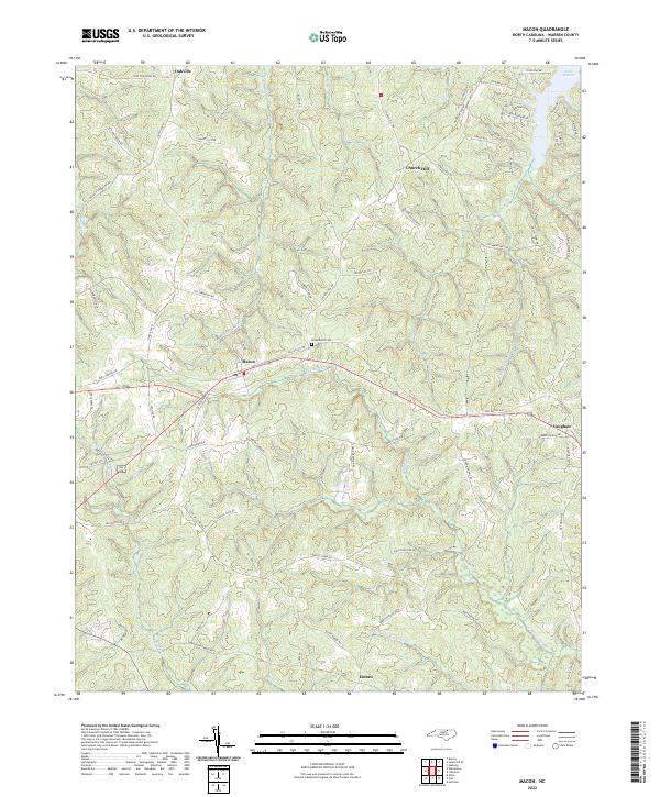
Macon and Vaughan serve as the primary hubs in this section of Warren County, where the Piedmont landscape is defined by the dendritic drainage patterns of Sixpound Cr and Hubquarter Cr. The northern edge of the quadrangle touches the southern reaches of Lake Gaston, a significant reservoir that transformed the local topography. Away from the water, the terrain is a network of ridges and creek bottoms, home to small rural settlements like Oakville and Church Hill.
Find a feature on this map
70 named features on this map. Tap any name to fly to it.
Don’t see what you’re looking for? This feature index may not catch every label — zoom into the map to look around manually.
Map Details
Date Portrayed2022
Date Published2022
PublisherU.S. Geological Survey
Map TypeTopographic
Scale1:24000
Physical Dimensions24 x 29 inches
Editions of this 2022 Macon Map
This is the sole edition of this map. No revisions or reprints were ever made.
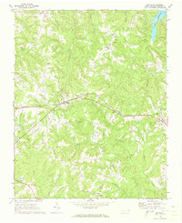
Historical Maps of Vaughan Through Time
Featured Locations
Source Details
SourceU.S. Geological Survey
CopyrightPublic Domain