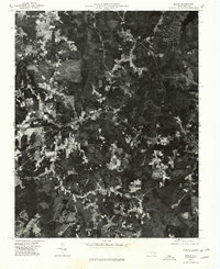
1977 Map of Macon
USGS Topo · Published 1979About this map
Macon and the surrounding Warren County landscape are captured in this 1977 orthophotomap, which utilizes aerial imagery to reveal the intricate patterns of agricultural clearings and dense woodland. The settlement of Macon sits as a central hub along the primary corridor of Route 158, showing the residential and commercial footprints as they existed in the late 1970s. To the east, Vaughan appears as a smaller cluster of development, while the southern portion of the sheet is marked by the rural community of Embro.
Find a feature on this map
5 named features on this map. Tap any name to fly to it.
Don’t see what you’re looking for? This feature index may not catch every label — zoom into the map to look around manually.
Map Details
Editions of this 1977 Macon Map
This is the sole edition of this map. No revisions or reprints were ever made.
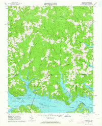
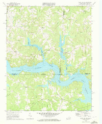
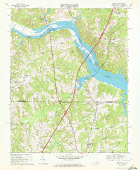
Other maps of this area

1919 · White Plains
USGS Topo · 1:48,000

1920 · White Plains
USGS Topo · 1:62,500

1953 · Norfolk
USGS Topo · 1:250,000

1953 · Greensboro
USGS Topo · 1:250,000

1954 · Greensboro
USGS Topo · 1:250,000

1962 · Greensboro
USGS Topo · 1:250,000
1963 · Gasburg
USGS Topo · 1:24,000

1966 · Greensboro
USGS Topo · 1:250,000
1968 · South Hill SE
USGS Topo · 1:24,000
1968 · Bracey
USGS Topo · 1:24,000