
1963 Map of Gasburg
USGS Topo · Published 1964About this map
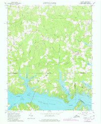
Lake Gaston dominates the southern landscape of this Virginia and North Carolina borderlands survey, where the Roanoke River valley was transformed by the impoundment of the dam. The map documents the intricate shoreline created as water backed into tributaries like Songbird Creek, Lizard Creek, and Pea Hill Creek. This 1963 field-checked edition captures the region's rural character, centered around small crossroads settlements like Ebony, Gasburg, and Elams.
Find a feature on this map
38 named features on this map. Tap any name to fly to it.
Don’t see what you’re looking for? This feature index may not catch every label — zoom into the map to look around manually.
Map Details
Editions of this 1963 Gasburg Map
4 editions found
Other maps of this area

1919 · White Plains
USGS Topo · 1:48,000

1920 · White Plains
USGS Topo · 1:62,500

1953 · Norfolk
USGS Topo · 1:250,000

1953 · Greensboro
USGS Topo · 1:250,000

1954 · Greensboro
USGS Topo · 1:250,000

1962 · Greensboro
USGS Topo · 1:250,000

1963 · Powellton
USGS Topo · 1:24,000

1963 · Valentines
USGS Topo · 1:24,000

1963 · White Plains
USGS Topo · 1:24,000

1966 · Greensboro
USGS Topo · 1:250,000