
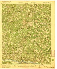
1920 Map of White Plains
USGS Topo · Published 1920About this map
Meherrin River and Roanoke River define the agricultural landscape along the border of Virginia and North Carolina in this 1920 survey. The area is densely settled with small crossroads and rural institutions, particularly evident in the concentration of educational and religious sites such as Zion Union School No 1, Meherrin School, and St Pauls Chapel. Commercial life is anchored by family-named landmarks like Drumgoole Store and Phipps Store, alongside essential infrastructure like Hicks Mill and Starks Mill.
Find a feature on this map
117 named features on this map. Tap any name to fly to it.
Don’t see what you’re looking for? This feature index may not catch every label — zoom into the map to look around manually.
Map Details
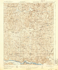
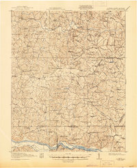
Editions of this 1920 White Plains Map
4 editions found
Other maps of this area

1918 · Lawrenceville
USGS Topo · 1:62,500

1919 · Mc Kenney
USGS Topo · 1:48,000

1919 · White Plains
USGS Topo · 1:48,000

1919 · Emporia
USGS Topo · 1:62,500

1920 · Lawrenceville
USGS Topo · 1:48,000

1921 · Mc Kenney
USGS Topo · 1:62,500

1921 · Lawrenceville
USGS Topo · 1:62,500

1942 · Lawrenceville
USGS Topo · 1:62,500

1942 · Emporia
USGS Topo · 1:62,500

1943 · Mc Kenney
USGS Topo · 1:62,500