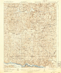
1920 Map of White Plains
USGS Topo · Published 1939About this map
White Plains and Gholsonville anchor this rural landscape in the years following the First World War, where the border between Virginia and North Carolina is defined by the Roanoke River. The area is densely patterned with the markers of early 20th-century community life, from the Gholsonville School to numerous country congregations such as St Pauls Chapel and Star Rock Church. Along the Meherrin River and its many tributaries, local industry is visible through sites like Birks Mill and Starks Mill, while river crossings are facilitated by the Jones Low Bridge and Golson Bridge. A network of small general stores, including Dragoole Store and Phipps Store, suggests the localized commerce of the era. The southern portion of the sheet features the Vultare Sta on the rail line and the extensive Sage Pond Swamp, illustrating the varied terrain of the Piedmont.
Find a feature on this map
107 named features on this map. Tap any name to fly to it.
Don’t see what you’re looking for? This feature index may not catch every label — zoom into the map to look around manually.
Map Details
Editions of this 1920 White Plains Map
4 editions found
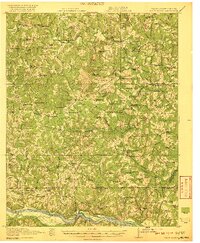
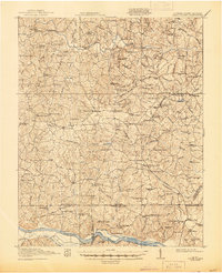
Other maps of this area

1918 · Lawrenceville
USGS Topo · 1:62,500

1919 · Mc Kenney
USGS Topo · 1:48,000

1919 · White Plains
USGS Topo · 1:48,000

1919 · Emporia
USGS Topo · 1:62,500

1920 · Lawrenceville
USGS Topo · 1:48,000

1920 · White Plains
USGS Topo · 1:62,500

1921 · Mc Kenney
USGS Topo · 1:62,500

1921 · Lawrenceville
USGS Topo · 1:62,500

1942 · Lawrenceville
USGS Topo · 1:62,500

1942 · Emporia
USGS Topo · 1:62,500