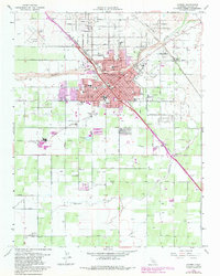
2021 Map of Madera
USGS Topo · Published 2021About this map
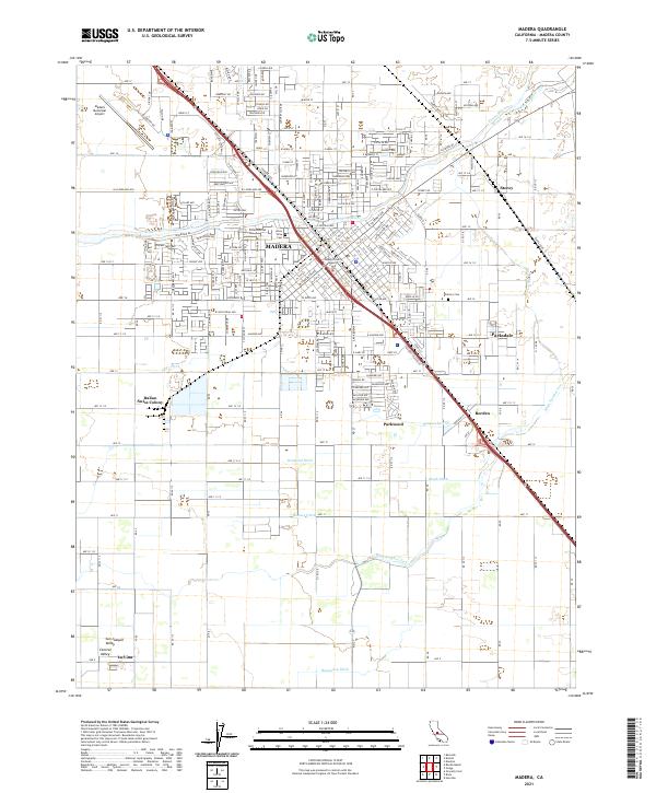
Madera serves as the focal point of this Central California landscape, where the urban grid meets the productive agriculture of the San Joaquin Valley. The map details a sophisticated network of water management essential to the region's identity, featuring the Fresno River alongside numerous man-made channels such as Ripperdan Ditch, Desmond Ditch, and Hugh Ditch. These waterways support the outlying settlements and industry, including the historic Italian Swiss Colony to the southwest of the city center.
Find a feature on this map
50 named features on this map. Tap any name to fly to it.
Don’t see what you’re looking for? This feature index may not catch every label — zoom into the map to look around manually.
Map Details
Editions of this 2021 Madera Map
This is the sole edition of this map. No revisions or reprints were ever made.
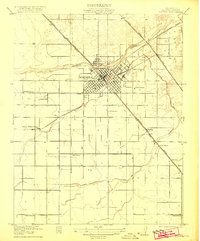
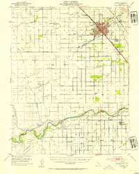
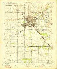
Historical Maps of Madera Through Time
5 maps found