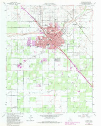
1963 Map of Madera
USGS Topo · Published 1981About this map
Madera sits at the heart of this agricultural and industrial landscape, where the Southern Pacific and Atchison Topeka and Santa Fe railroads converge near the Fresno River. The 1963 survey reveals a maturing city center featuring the Courthouse, City Hall, and the National Guard Armory, surrounded by an extensive network of schools including Madera Union High Sch and St Joachim Sch.
Find a feature on this map
40 named features on this map. Tap any name to fly to it.
Don’t see what you’re looking for? This feature index may not catch every label — zoom into the map to look around manually.
Map Details
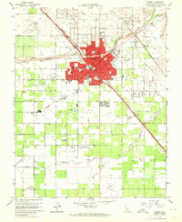
Editions of this 1963 Madera Map
2 editions found
Other maps of this area

1912 · Mariposa
USGS Topo · 1:125,000

1916 · Berenda
USGS Topo · 1:31,680

1918 · Berenda
USGS Topo · 1:31,680

1920 · Kismet
USGS Topo · 1:31,680

1920 · Bonita Ranch
USGS Topo · 1:31,680

1921 · Daulton
USGS Topo · 1:31,680

1921 · Bonita Ranch
USGS Topo · 1:31,680

1922 · Gregg
USGS Topo · 1:31,680

1922 · Madera
USGS Topo · 1:31,680

1923 · Herndon
USGS Topo · 1:31,680