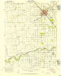
1946 Map of Madera
USGS Topo · Published 1954About this map
Madera serves as the central hub of this agricultural landscape during the mid-1940s, situated at the junction of the Southern Pacific and the Atchison Topeka and Santa Fe RR. The surrounding territory reveals a highly engineered water system essential for San Joaquin Valley farming, featuring the Madera Canal, Bullard Canal, and Enterprise Canal branching away from the San Joaquin River. Small rural schoolhouses like La Vina Sch, Alpha Sch, and Eastin Sch are scattered across the grid of section lines and orchards.
Find a feature on this map
52 named features on this map. Tap any name to fly to it.
Don’t see what you’re looking for? This feature index may not catch every label — zoom into the map to look around manually.
Map Details
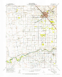
Editions of this 1946 Madera Map
2 editions found
Other maps of this area

1912 · Mariposa
USGS Topo · 1:125,000

1916 · Berenda
USGS Topo · 1:31,680

1918 · Chowchilla
USGS Topo · 1:31,680

1918 · Berenda
USGS Topo · 1:31,680

1920 · Kismet
USGS Topo · 1:31,680

1920 · Bonita Ranch
USGS Topo · 1:31,680

1921 · Daulton
USGS Topo · 1:31,680

1921 · Mendota
USGS Topo · 1:31,680

1921 · Bonita Ranch
USGS Topo · 1:31,680

1922 · Gregg
USGS Topo · 1:31,680