2022 Map of Madison
USGS Topo · Published 2022About this map
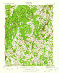
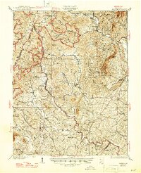
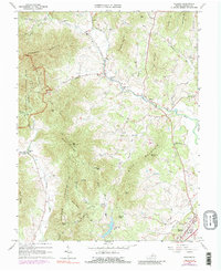
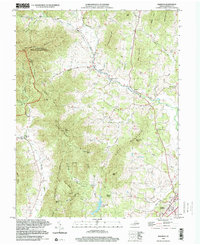
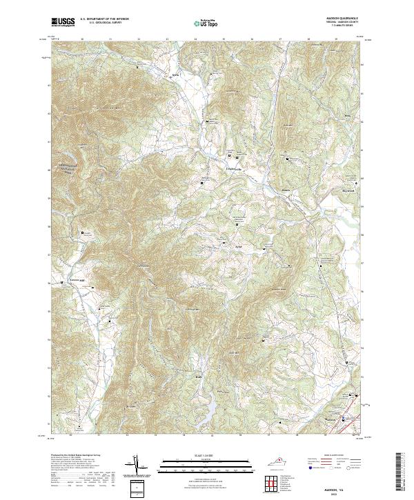
Madison serves as the focal point of this Virginia survey, anchored by the Madison County Courthouse and a surrounding network of historical faith centers like the Piedmont Episcopal Church. The landscape transitions from the developed corridor along the Robinson River into the steep eastern slopes of Shenandoah National Park. Settlement patterns follow the valley floors and old thoroughfares like the Old Blue Ridge Tpke, connecting rural communities such as Criglersville, Syria, and Aylor. This map is particularly valuable for genealogists, documenting numerous family burial grounds including the Aylor Family Cem, Kite Family Cem, and Hoffman Family Cem. The terrain is defined by prominent ridges such as Blakey Ridge and Doubletop Mtn, which frame the many hollows and runs that drain into the Rapidan River and Staunton River.
Find a feature on this map
144 named features on this map. Tap any name to fly to it.
Don’t see what you’re looking for? This feature index may not catch every label — zoom into the map to look around manually.
Map Details
Editions of this 2022 Madison Map
This is the sole edition of this map. No revisions or reprints were ever made.
Historical Maps of Duet Through Time
5 maps found