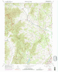
1964 Map of Madison
USGS Topo · Published 1989About this map
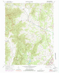
Madison stands as the primary seat of local activity in this Virginia Piedmont landscape, where the eastern slopes of the Blue Ridge meet a network of fertile river valleys. The eastern boundary of Shenandoah National Park defines the western edge of the map, covering high terrain such as Doubletop Mountain and Blakey Ridge. The drainage patterns are a central feature, with the Robinson River and Rapidan River carving paths through the hills, supporting small rural communities like Syria, Criglersville, and Aylor. This 1960s survey provides a detailed look at the rural church and cemetery distribution, including Mt Olivet Ch and Sunnybrook Chapel, reflecting the long-established social fabric of the county before modern development. Many family-named landforms like Carpenter Mountain and Deal Mountain highlight the genealogical depth of the area.
Find a feature on this map
58 named features on this map. Tap any name to fly to it.
Don’t see what you’re looking for? This feature index may not catch every label — zoom into the map to look around manually.
Map Details
Editions of this 1964 Madison Map
5 editions found
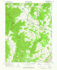
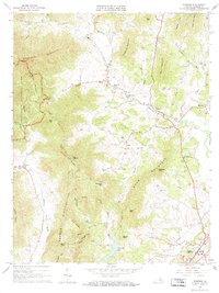
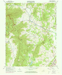
Other maps of this area

1892 · Gordonsville
USGS Topo · 1:125,000

1893 · Luray
USGS Topo · 1:125,000

1905 · Luray
USGS Topo · 1:125,000

1929 · Stony Man
USGS Topo · 1:48,000

1930 · Madison
USGS Topo · 1:48,000

1933 · Stony Man
USGS Topo · 1:62,500

1933 · Madison
USGS Topo · 1:62,500

1949 · Charlottesville
USGS Topo · 1:250,000

1956 · Charlottesville
USGS Topo · 1:250,000

1961 · Sperryville
USGS Topo · 1:62,500