
1933 Map of Madison
USGS Topo · Published 1933About this map
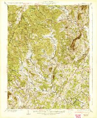
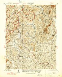
Stanardsville and the county seat of Madison anchor this 1933 survey of the Virginia Piedmont as it rises toward the Blue Ridge. The landscape is defined by the early development of Shenandoah National Park, featuring the newly constructed Skyline Drive and the Appalachian Trail winding across the high ridges of Fork Mountain and Doubletop Mountain. Of particular historical note is The Presidents Camp on the Mill Prong, established during the Hoover administration.
Find a feature on this map
124 named features on this map. Tap any name to fly to it.
Don’t see what you’re looking for? This feature index may not catch every label — zoom into the map to look around manually.
Map Details
Editions of this 1933 Madison Map
3 editions found
Other maps of this area

1892 · Woodstock
USGS Topo · 1:125,000

1892 · Gordonsville
USGS Topo · 1:125,000

1892 · Harrisonburg
USGS Topo · 1:125,000

1893 · Luray
USGS Topo · 1:125,000

1905 · Luray
USGS Topo · 1:125,000

1929 · Stony Man
USGS Topo · 1:48,000

1930 · Madison
USGS Topo · 1:48,000

1931 · University
USGS Topo · 1:62,500

1933 · Stony Man
USGS Topo · 1:62,500

1935 · Charlottesville
USGS Topo · 1:62,500