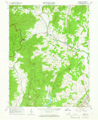
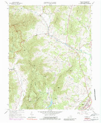
1964 Map of Madison
USGS Topo · Published 1966About this map
Shenandoah National Park defines the western edge of this mid-1960s survey, where the Fire Chapman Mountain Trail and various fire trails wind through the steep relief of Doubletop Mountain and Blakey Ridge. At the base of these peaks, the landscape transitions into a series of valleys shaped by the Rapidan River and Robinson River. The settlement pattern follows these watercourses, with small communities like Syria, Criglersville, and Graves Mill serving as focal points for the surrounding rural homesteads. Genealogists and local historians will find several rural landmarks of interest, including Graves Chapel, Mt Zion Ch, and the Cedar Hill Cem near Madison. The mapping of old transport routes, from the Pipeline corridors to the Courtney Hollow Trail, reveals the established network of movement between the Blue Ridge foothills and the county seat.
Find a feature on this map
65 named features on this map. Tap any name to fly to it.
Don’t see what you’re looking for? This feature index may not catch every label — zoom into the map to look around manually.
Map Details
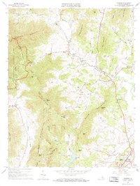
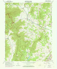
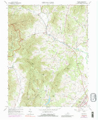
Editions of this 1964 Madison Map
5 editions found
Other maps of this area

1892 · Gordonsville
USGS Topo · 1:125,000

1893 · Luray
USGS Topo · 1:125,000

1905 · Luray
USGS Topo · 1:125,000

1929 · Stony Man
USGS Topo · 1:48,000

1930 · Madison
USGS Topo · 1:48,000

1933 · Stony Man
USGS Topo · 1:62,500

1933 · Madison
USGS Topo · 1:62,500

1949 · Charlottesville
USGS Topo · 1:250,000

1956 · Charlottesville
USGS Topo · 1:250,000

1961 · Sperryville
USGS Topo · 1:62,500