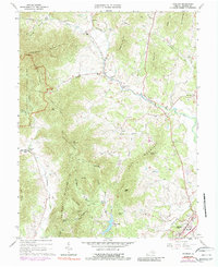
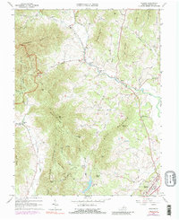
1964 Map of Madison
USGS Topo · Published 1989About this map
The town of Madison serves as the focal point in this survey, which transitions from settled valley lands into the high ridges of the Shenandoah National Park. The landscape is defined by the winding courses of the Robinson River and Rose River, where small communities like Criglersville, Syria, and Aylor are situated. These settlements follow the water, connected by secondary roads and historic paths like the Quaker Run and Blakey Ridge Trail.
Find a feature on this map
70 named features on this map. Tap any name to fly to it.
Don’t see what you’re looking for? This feature index may not catch every label — zoom into the map to look around manually.
Map Details
Editions of this 1964 Madison Map
5 editions found
Other maps of this area

1892 · Gordonsville
USGS Topo · 1:125,000

1893 · Luray
USGS Topo · 1:125,000

1905 · Luray
USGS Topo · 1:125,000

1929 · Stony Man
USGS Topo · 1:48,000

1930 · Madison
USGS Topo · 1:48,000

1933 · Stony Man
USGS Topo · 1:62,500

1933 · Madison
USGS Topo · 1:62,500

1949 · Charlottesville
USGS Topo · 1:250,000

1956 · Charlottesville
USGS Topo · 1:250,000

1961 · Sperryville
USGS Topo · 1:62,500