Loading...
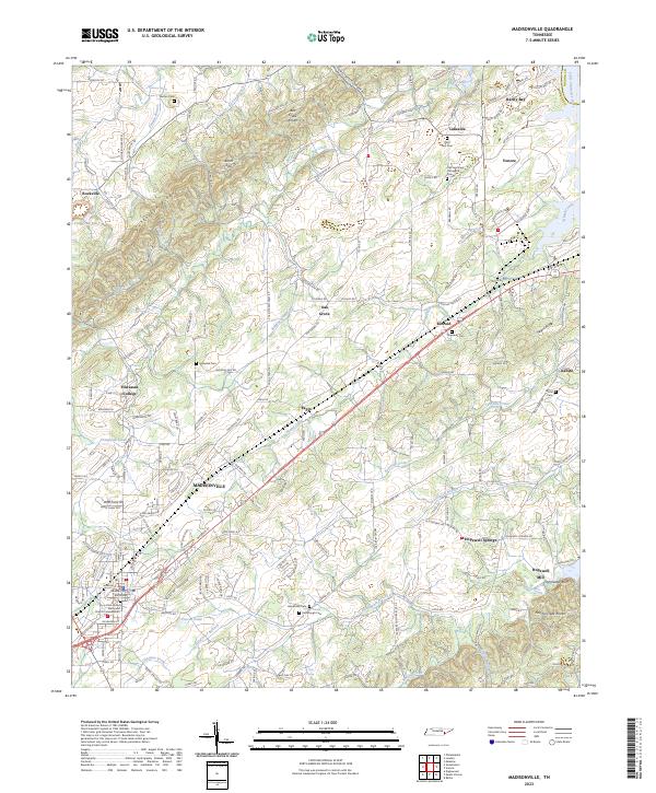
Loading map...2023 Map of Madisonville
USGS Topo · Published 2023About this map
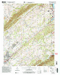
The Madisonville town center and the surrounding Monroe County landscape are defined by a mix of educational heritage and rural industry. The campus of Hiwassee College stands as a primary landmark west of the city, while the Monroe County Courthouse anchors the downtown district. The terrain is marked by prominent ridges such as Turkeypen Ridge and Negro Ridge, which channel local waterways like Chestuee Creek and Fourmile Creek.
Find a feature on this map
178 named features on this map. Tap any name to fly to it.
Don’t see what you’re looking for? This feature index may not catch every label — zoom into the map to look around manually.
Map Details
Date Portrayed2023
Date Published2023
PublisherU.S. Geological Survey
Map TypeTopographic
Scale1:24000
Physical Dimensions24 x 29 inches
Editions of this 2023 Madisonville Map
This is the sole edition of this map. No revisions or reprints were ever made.
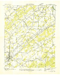
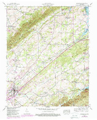
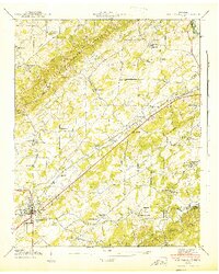
Historical Maps of Phillips Through Time
5 maps found
Featured Locations
Source Details
SourceU.S. Geological Survey
CopyrightPublic Domain