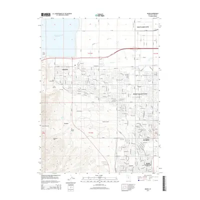
2014 Map of Magna
USGS Topo · Published 2014About this map
The Oquirrh Mountains form a dramatic backdrop to the industrial and suburban landscape of Salt Lake County in this 2014 survey. The western half of the map is dominated by large-scale land management, including the Kennecott Tailings Pond Number One and the mining-related settlement of Bacchus. In the foothills, deep cuts like Coon Canyon and Limekiln Canyon descend toward the valley floor, where the older settlement of Magna sits near the Pleasant Green Cem.
Find a feature on this map
66 named features on this map. Tap any name to fly to it.
Don’t see what you’re looking for? This feature index may not catch every label — zoom into the map to look around manually.
Map Details
Editions of this 2014 Magna Map
This is the sole edition of this map. No revisions or reprints were ever made.
Other maps of this area

1885 · Salt Lake
USGS Topo · 1:250,000

1885 · Tooele Valley
USGS Topo · 1:250,000

1925 · Ft. Douglas
USGS Topo · 1:125,000

1928 · Ft. Douglas
USGS Topo · 1:125,000

1951 · Saltair
USGS Topo · 1:24,000

1951 · Salt Lake City South
USGS Topo · 1:24,000

1951 · Midvale
USGS Topo · 1:24,000

1951 · Salt Lake City North
USGS Topo · 1:24,000

1952 · Magna
USGS Topo · 1:24,000

1952 · Bingham Canyon
USGS Topo · 1:24,000