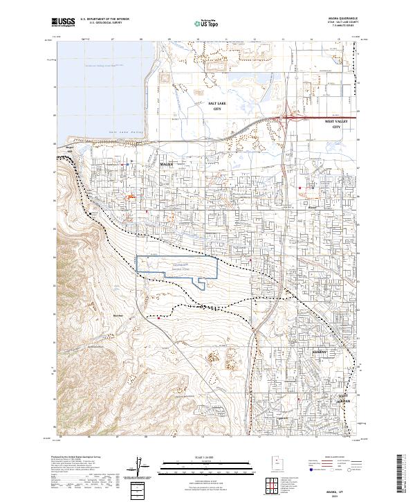
2023 Map of Magna
USGS Topo · Published 2023About this map
Industrial and residential development defines this portion of the Salt Lake Valley, where the sprawling Kennecott Tailings Pond Number one and the historic Magna Mill dominate the northwestern landscape. The transition from the rugged slopes of the Oquirrh Mountains to the urbanized basin is marked by a complex network of waterways, including the Utah and Salt Lake Canal, Riter Canal, and Kersey Creek Canal. These canals historically supported the agricultural and industrial growth of communities like Magna, Hunter, and the settlement of Bacchus.
Find a feature on this map
32 named features on this map. Tap any name to fly to it.
Don’t see what you’re looking for? This feature index may not catch every label — zoom into the map to look around manually.
Map Details
Editions of this 2023 Magna Map
This is the sole edition of this map. No revisions or reprints were ever made.
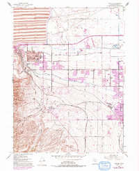
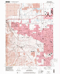
Historical Maps of Park Wood Through Time
3 maps found