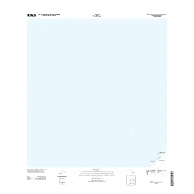
2013 Map of Mahukona OE N
USGS Topo · Published 2013About this map
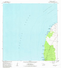
Mookini Heiau, one of the most significant ancient cultural sites in the islands, sits on the northwestern edge of the Island of Hawai‘i. This coastal survey focuses primarily on the waters of the Pacific Ocean, with a small sliver of land revealing the rugged shoreline near Limukoko Point. Modern infrastructure appears in the form of Ulolu Point Rd and a Loran Tower, marking the intersection of traditional Hawaiian history and 21st-century maritime navigation along this isolated stretch of coast.
Find a feature on this map
6 named features on this map. Tap any name to fly to it.
Don’t see what you’re looking for? This feature index may not catch every label — zoom into the map to look around manually.
Map Details
Editions of this 2013 Mahukona OE N Map
This is the sole edition of this map. No revisions or reprints were ever made.
Other maps of this area

1913 · Kohala
USGS Topo · 1:62,500

1916 · Kohala
USGS Topo · 1:62,500

1954 · Hawaii North
USGS Topo · 1:250,000
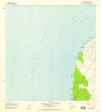
1957 · Mahukona
USGS Topo · 1:24,000
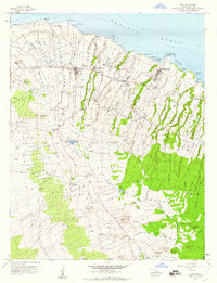
1957 · Hawi
USGS Topo · 1:24,000

1959 · Hawaii North
USGS Topo · 1:250,000

1961 · Hawaii North
USGS Topo · 1:250,000

1975 · Hawaii
USGS Topo · 1:250,000
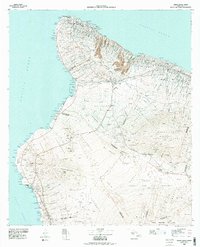
1980 · Hawaii County Sheet 1
USGS Topo · 1:100,000
1982 · Mahukona
USGS Topo · 1:24,000