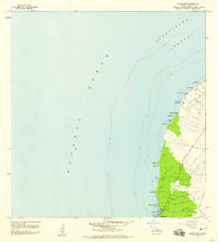
1957 Map of Mahukona
USGS Topo · Published 1959About this map
Kamehameha I Birthplace and the ancient Mookini Heiau anchor the northernmost tip of the Island of Hawaii on this 1957 coastal survey. The Kohala shoreline is defined by land divisions known as ahupua‘a, ranging from Upolu and Honoipu down to Mahukona. These traditional boundaries are bisected by modern infrastructure, including a Pipeline and several Jeep Trails that connect remote coastal sites to the interior.
Find a feature on this map
48 named features on this map. Tap any name to fly to it.
Don’t see what you’re looking for? This feature index may not catch every label — zoom into the map to look around manually.
Map Details
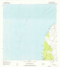
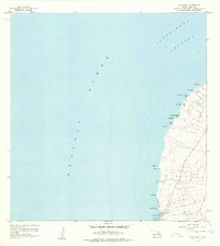
Editions of this 1957 Mahukona Map
3 editions found
Other maps of this area

1913 · Kohala
USGS Topo · 1:62,500

1916 · Kohala
USGS Topo · 1:62,500

1954 · Hawaii North
USGS Topo · 1:250,000
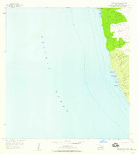
1957 · Keawanui Bay
USGS Topo · 1:24,000
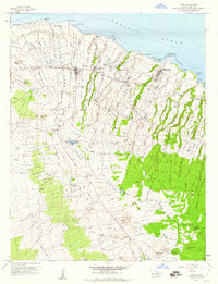
1957 · Hawi
USGS Topo · 1:24,000

1959 · Hawaii North
USGS Topo · 1:250,000

1961 · Hawaii North
USGS Topo · 1:250,000

1975 · Hawaii
USGS Topo · 1:250,000
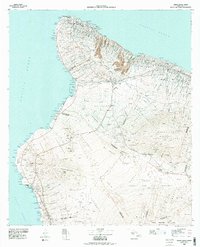
1980 · Hawaii County Sheet 1
USGS Topo · 1:100,000
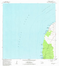
1982 · Mahukona
USGS Topo · 1:24,000