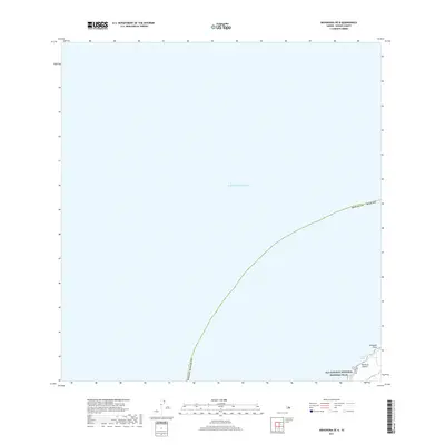
2017 Map of Mahukona OE N
USGS Topo · Published 2017About this map
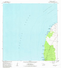
The Ala Kahakai National Historic Trail follows the rugged northern coastline of the Island of Hawai'i, tracing a cultural and historical corridor along the Pacific Ocean. This coastal segment features Limukoko Point and the waters of 'Umiwai Bay, where the land meets the sea at the northernmost reaches of the Kohala district. Access to this shoreline is marked by Upolu Rd, which terminates near the historic trail path. The map focuses primarily on the maritime boundary and the narrow strip of coastal land, emphasizing the preserved corridor of the national historic trail as it winds through this remote volcanic landscape.
Find a feature on this map
9 named features on this map. Tap any name to fly to it.
Don’t see what you’re looking for? This feature index may not catch every label — zoom into the map to look around manually.
Map Details
Editions of this 2017 Mahukona OE N Map
This is the sole edition of this map. No revisions or reprints were ever made.
Other maps of this area

1913 · Kohala
USGS Topo · 1:62,500

1916 · Kohala
USGS Topo · 1:62,500

1954 · Hawaii North
USGS Topo · 1:250,000
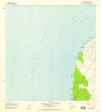
1957 · Mahukona
USGS Topo · 1:24,000
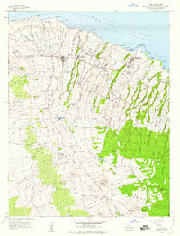
1957 · Hawi
USGS Topo · 1:24,000

1959 · Hawaii North
USGS Topo · 1:250,000

1961 · Hawaii North
USGS Topo · 1:250,000

1975 · Hawaii
USGS Topo · 1:250,000
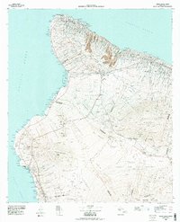
1980 · Hawaii County Sheet 1
USGS Topo · 1:100,000
1982 · Mahukona
USGS Topo · 1:24,000