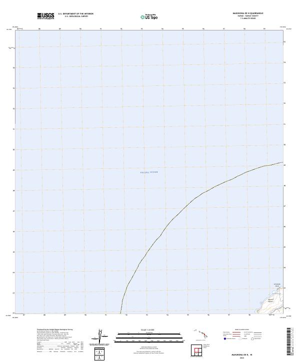
2024 Map of Mahukona OE N
USGS Topo · Published 2024About this map
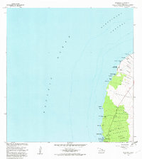
Island of Hawai‘i meets the expanse of the Pacific Ocean at the northwestern edge of the Big Island in this modern topographic study. The coastline is defined by sharp landforms and maritime features, specifically the protrusion of Limukoko Point and the adjacent waters of Umiwai Bay. This specific coastal interface is accessed via Upolu Rd, which leads toward the island's northernmost tip. The terrain here represents a critical point of geographic orientation, where the volcanic slopes descend into the sea, providing a clear record of the shoreline before further natural erosion or coastal development alters these landmarks.
Find a feature on this map
5 named features on this map. Tap any name to fly to it.
Don’t see what you’re looking for? This feature index may not catch every label — zoom into the map to look around manually.
Map Details
Editions of this 2024 Mahukona OE N Map
This is the sole edition of this map. No revisions or reprints were ever made.
Other maps of this area

1913 · Kohala
USGS Topo · 1:62,500

1916 · Kohala
USGS Topo · 1:62,500

1954 · Hawaii North
USGS Topo · 1:250,000
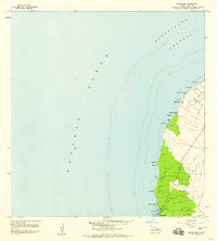
1957 · Mahukona
USGS Topo · 1:24,000
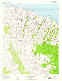
1957 · Hawi
USGS Topo · 1:24,000

1959 · Hawaii North
USGS Topo · 1:250,000

1961 · Hawaii North
USGS Topo · 1:250,000

1975 · Hawaii
USGS Topo · 1:250,000
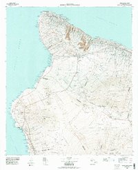
1980 · Hawaii County Sheet 1
USGS Topo · 1:100,000
1982 · Mahukona
USGS Topo · 1:24,000