2022 Map of Maize
USGS Topo · Published 2022About this map
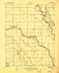
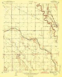
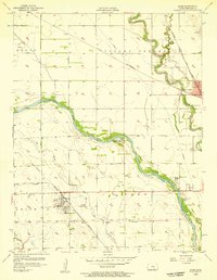
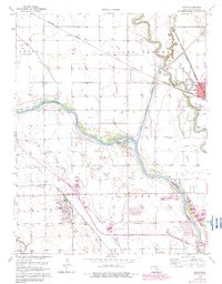
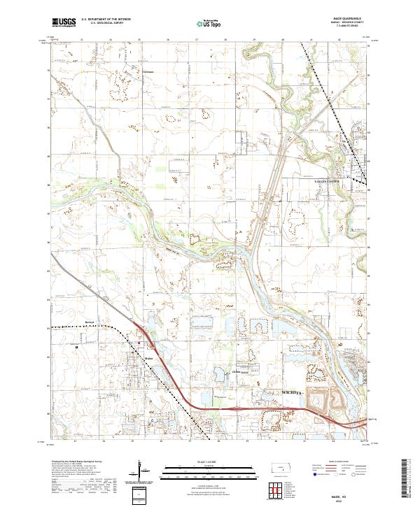
Maize and the northern outskirts of Wichita anchor this suburban and rural transition in Sedgwick County. The landscape is defined by the hydrologic network of the Arkansas River and the Little Arkansas River, which frame the agricultural and residential growth of the region. Significant aviation history is represented by the Maize Airport, while localized residential developments like Childs Acres and Hampton Lakes indicate the steady expansion of the metropolitan fringe. The survey also preserves the locations of smaller hubs such as Valley Center, Coleman, and Berwet. Local family and community heritage is grounded by features such as the Maize Cem, which sits near the junction of historic section-line roads and the winding path of the Big Slough.
Find a feature on this map
100 named features on this map. Tap any name to fly to it.
Don’t see what you’re looking for? This feature index may not catch every label — zoom into the map to look around manually.
Map Details
Editions of this 2022 Maize Map
This is the sole edition of this map. No revisions or reprints were ever made.
Historical Maps of Valley Center Through Time
5 maps found