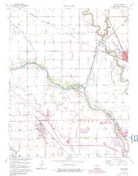
1961 Map of Maize
USGS Topo · Published 1982About this map
The confluence of the Arkansas River and the Little Arkansas River dominates this landscape northwest of Wichita, where flood control and agricultural land-use intersect. Infrastructure defines the era, highlighted by the Wichita Valley Center Floodway and several regional rail lines including the Atchison Topeka and Santa Fe and the Missouri Pacific.
Find a feature on this map
39 named features on this map. Tap any name to fly to it.
Don’t see what you’re looking for? This feature index may not catch every label — zoom into the map to look around manually.
Map Details
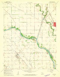
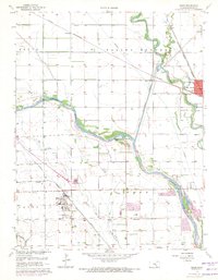
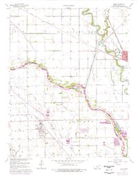
Editions of this 1961 Maize Map
4 editions found
Other maps of this area

1889 · Cheney
USGS Topo · 1:125,000

1889 · Wichita
USGS Topo · 1:125,000

1891 · Cheney
USGS Topo · 1:125,000

1894 · Wichita
USGS Topo · 1:125,000

1901 · Cheney
USGS Topo · 1:125,000

1941 · Maize
USGS Topo · 1:31,680

1941 · Valley Center
USGS Topo · 1:31,680

1942 · Valley Center
USGS Topo · 1:31,680

1942 · Maize
USGS Topo · 1:31,680

1943 · Wichita West
USGS Topo · 1:31,680