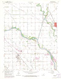
1961 Map of Maize
USGS Topo · Published 1971About this map
Maize and Valley Center anchor this mid-century survey of the Eagle Valley, where the complex hydrology of the Arkansas River and Little River is managed by the massive Wichita Valley Center Floodway. The landscape is a transition of agricultural fields and infrastructure, featuring several aviation sites like the Maize Landing Field and Riverside Landing Field. Local transit and commerce are defined by three major rail lines, including the St Louis San Francisco and the Missouri Pacific, which bisect the smaller settlements of Coleman and Berwet.
Find a feature on this map
29 named features on this map. Tap any name to fly to it.
Don’t see what you’re looking for? This feature index may not catch every label — zoom into the map to look around manually.
Map Details
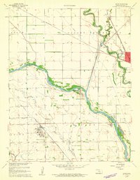
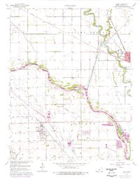
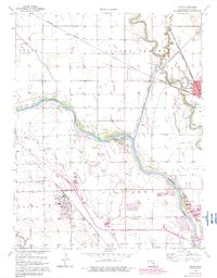
Editions of this 1961 Maize Map
4 editions found
Other maps of this area

1889 · Cheney
USGS Topo · 1:125,000

1889 · Wichita
USGS Topo · 1:125,000

1891 · Cheney
USGS Topo · 1:125,000

1894 · Wichita
USGS Topo · 1:125,000

1901 · Cheney
USGS Topo · 1:125,000

1941 · Maize
USGS Topo · 1:31,680

1941 · Valley Center
USGS Topo · 1:31,680

1942 · Valley Center
USGS Topo · 1:31,680

1942 · Maize
USGS Topo · 1:31,680

1943 · Wichita West
USGS Topo · 1:31,680