
Loading...
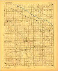
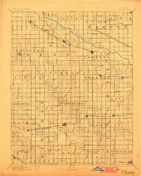
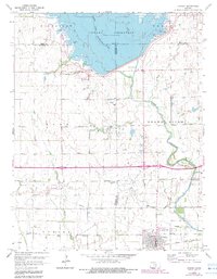
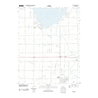
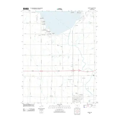
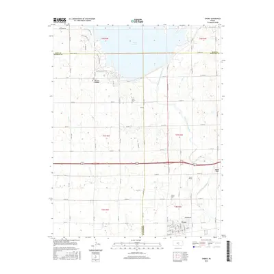
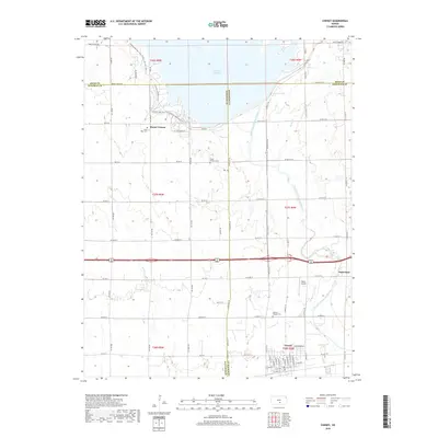
Loading map...1901 Map of Cheney
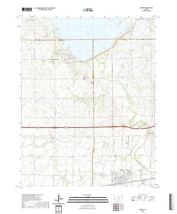
USGS Topo · Published 1910About this map
The Arkansas River cuts across the northern landscape of this South Central Kansas region, while the North Fork Ninnescah River and South Fork Ninnescah River wind through the southern sections. This area, surveyed in the late 19th century, shows a well-established grid of townships and a burgeoning rail network that supported early agricultural hubs. The Wichita and Western Railroad links several key settlements, including Cheney, Garden Plain, and Goddard, providing a vital connection to markets for the surrounding prairie farms.
Find a feature on this map
77 named features on this map. Tap any name to fly to it.
Don’t see what you’re looking for? This feature index may not catch every label — zoom into the map to look around manually.
Map Details
Date Portrayed1901
Date Published1910
PublisherU.S. Geological Survey
Map TypeTopographic
Scale1:125,000
Physical Dimensions15.49 x 19.26 inches
Editions of this 1901 Cheney Map
2 editions found
Historical Maps of Wichita Through Time
9 maps found

Featured Locations
Source Details
SourceU.S. Geological Survey
CopyrightPublic Domain