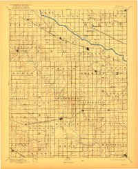
1901 Map of Cheney
USGS Topo · Published 1922About this map
The Arkansas River cuts diagonally across this prairie landscape, serving as a primary corridor for the Missouri Pacific Railroad and early settlements like Haven and Mt. Hope. Farther south, the Ninnescah River and its numerous tributaries, including Smoots Creek and Polecat Creek, drain the agricultural townships of Garden Plain and Morton. This late 19th-century survey highlights a network of rural post offices that once anchored local life, including Stella P.O., Mona P.O., and Venice P.O..
Find a feature on this map
76 named features on this map. Tap any name to fly to it.
Don’t see what you’re looking for? This feature index may not catch every label — zoom into the map to look around manually.
Map Details
Editions of this 1901 Cheney Map
2 editions found

Other maps of this area

1889 · Newton
USGS Topo · 1:125,000

1889 · Anthony
USGS Topo · 1:125,000

1889 · Cheney
USGS Topo · 1:125,000

1889 · Wichita
USGS Topo · 1:125,000

1889 · Caldwell
USGS Topo · 1:125,000

1890 · Wellington
USGS Topo · 1:125,000

1891 · Hutchinson
USGS Topo · 1:125,000

1891 · Cheney
USGS Topo · 1:125,000

1891 · Anthony
USGS Topo · 1:125,000

1892 · Kingman
USGS Topo · 1:125,000