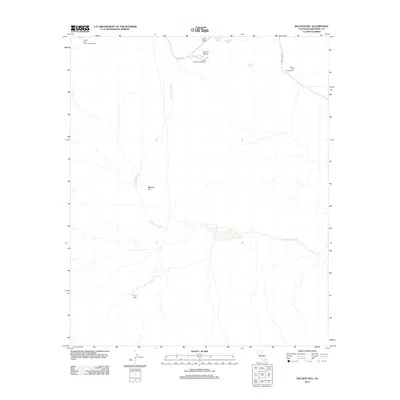
2012 Map of Malapai Hill
USGS Topo · Published 2012About this map
Malapai Hill stands as a prominent topographical marker in this arid landscape of Riverside County, where water resources are defined by ephemeral drainage systems like Fried Liver Wash. The 2012 geography is characterized by essential backcountry water points such as Pinyon Well and various rock-basin catchments including Live Oak Tank, Ivanpah Tank, and Twin Tanks. These features were critical for early transit and remain vital landmarks in the desert environment.
Find a feature on this map
13 named features on this map. Tap any name to fly to it.
Don’t see what you’re looking for? This feature index may not catch every label — zoom into the map to look around manually.
Map Details
Editions of this 2012 Malapai Hill Map
This is the sole edition of this map. No revisions or reprints were ever made.
Other maps of this area

1942 · Amboy
USGS Topo · 1:250,000

1943 · Amboy
USGS Topo · 1:250,000

1943 · Pinkham Well
USGS Topo · 1:62,500

1944 · Pinkham Well
USGS Topo · 1:62,500

1944 · Pinyon Well
USGS Topo · 1:62,500

1947 · Santa Ana
USGS Topo · 1:250,000

1949 · Santa Ana
USGS Topo · 1:250,000

1953 · San Bernardino
USGS Topo · 1:250,000

1954 · Salton Sea
USGS Topo · 1:250,000

1954 · Needles
USGS Topo · 1:250,000