Loading...
Loading map...2024 Map of Malden
USGS Topo · Published 2024About this map
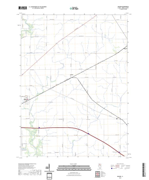
Malden sits at the intersection of a sprawling rural road network and modern interstate corridors in central Bureau County. This 2024 landscape is defined by its deep agricultural ties and the winding tributaries of the Big Bureau Creek and East Bureau Creek. Small community clusters at Arlington and Zearing indicate the historical importance of the railroad routes that once dictated the growth of these prairie settlements.
Find a feature on this map
53 named features on this map. Tap any name to fly to it.
Don’t see what you’re looking for? This feature index may not catch every label — zoom into the map to look around manually.
Map Details
Date Portrayed2024
Date Published2024
PublisherU.S. Geological Survey
Map TypeTopographic
Scale1:24000
Physical Dimensions24 x 29 inches
Editions of this 2024 Malden Map
This is the sole edition of this map. No revisions or reprints were ever made.
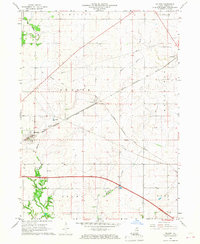
Historical Maps of Zearing Through Time
Featured Locations
Source Details
SourceU.S. Geological Survey
CopyrightPublic Domain