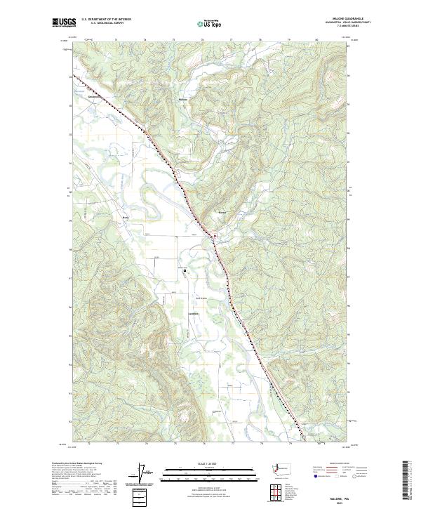
2023 Map of Malone
USGS Topo · Published 2023About this map
The Chehalis River meanders across this Grays Harbor County landscape, creating a wide valley that historically supported the small riverside communities of Malone, Porter, and Greenwood. The river's winding course and its confluence with tributaries like Mox Chehalis Creek and Porter Creek shaped the region's early development and agricultural potential. These low-lying areas, including Ford Prairie and Lankner, are contrasted by the rising timberlands to the east and west, where specialized logging roads such as A-Line and B-Line Rd snake through the hills towards the Capitol Forest Rd. Genealogists and local historians can find traces of family history at the Sharon Cem or along rural routes like S Bank Rd and Bartel Rd. The map illustrates a rural Washington environment where modern transport corridors parallel the older river-and-rail paths that once connected these timber towns.
Find a feature on this map
44 named features on this map. Tap any name to fly to it.
Don’t see what you’re looking for? This feature index may not catch every label — zoom into the map to look around manually.
Map Details
Editions of this 2023 Malone Map
This is the sole edition of this map. No revisions or reprints were ever made.
Historical Maps of Grays Harbor County Through Time
3 maps found