2022 Map of Manchester
USGS Topo · Published 2022About this map
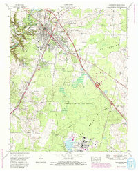
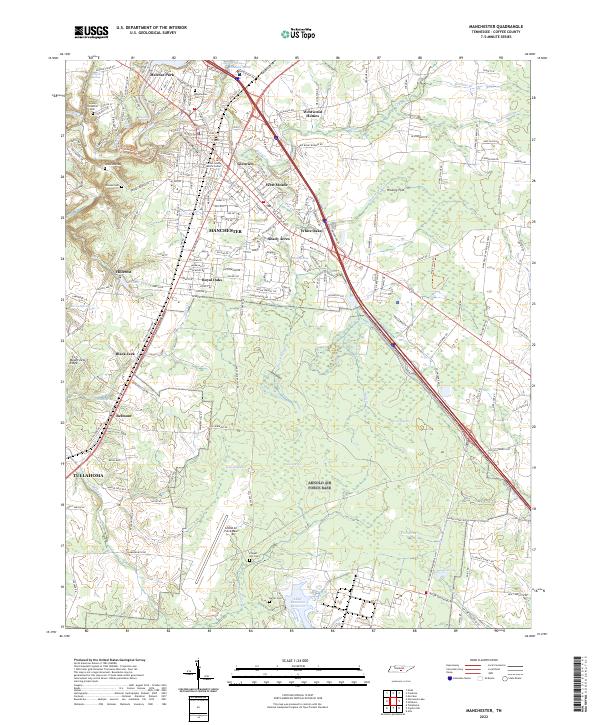
Manchester serves as the central hub of this 2022 survey, showcasing its established residential neighborhoods such as West Meade, Shady Acres, and Royal Oaks. The landscape is defined by the Little Duck River, which flows through the heart of the city past Bluehole Falls and Little Falls. To the south, the terrain shifts into a more complex hydrologic environment characterized by Westall Swamp, Sinking Pond, and Brumm Swamp, illustrating the transition from the developed urban core to the wetter bottomlands surrounding the AEDC Retention Reservoir.
Find a feature on this map
193 named features on this map. Tap any name to fly to it.
Don’t see what you’re looking for? This feature index may not catch every label — zoom into the map to look around manually.
Map Details
Editions of this 2022 Manchester Map
This is the sole edition of this map. No revisions or reprints were ever made.
Historical Maps of Hillcrest Through Time
5 maps found